Edit topic file
Topics → ![]()
General
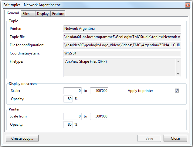
The window general contains the name, the location of the topic file and the file for configuration, the coordinate system used and the filetype.
Scale determines the range within which the data of the topic file is visible on the map. With opacity you can determine how well the data should be visible.
It is adviseable to use the same settings for screen and printer (this can be done by ticking the box apply for printer). This way a printout will look the same as displayed onscreen. Alternatively the box can be left unticked and settings for the printer can be set individually.
