Edit topic file
Topics → ![]()
General
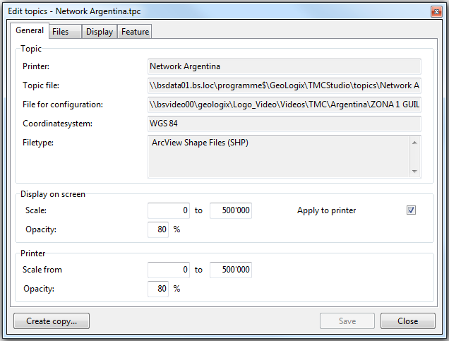
The window general contains the name, the location of the topic file and the file for configuration, the coordinate system used and the filetype.
Scale determines the range within which the data of the topic file is visible on the map. With opacity you can determine how well the data should be visible.
It is adviseable to use the same settings for screen and printer (this can be done by ticking the box apply for printer). This way a printout will look the same as displayed onscreen. Alternatively the box can be left unticked and settings for the printer can be set individually.
Files
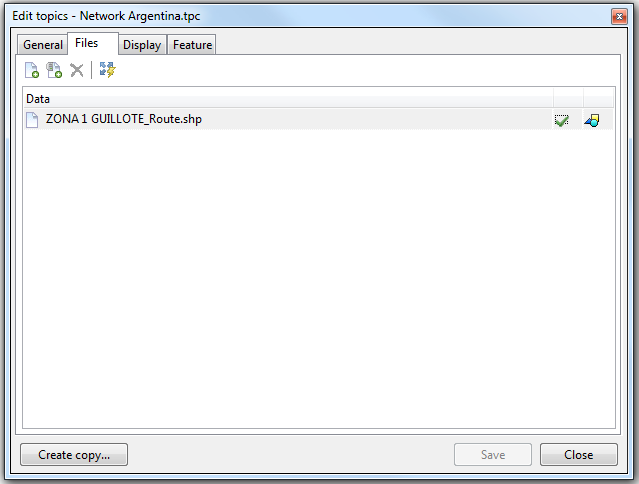
The window files contains the individual files containing the information of the corresponding topic. In this window files can be added or deleted. The extent of these files can also be calculated here.
![]() Neue Dateien (alle Formate) hinzufügen
Neue Dateien (alle Formate) hinzufügen
Dieser Button wird verwendet, um dem Zusatzthema Geodaten aus einer oder mehreren Datei(en) hinzuzufügen.
![]() Layer von Server (WMS oder SDE) hinzufügen
Layer von Server (WMS oder SDE) hinzufügen
Dient dem Hinzufügen eines Geodatenlayers, welcher von einem erfassten WMS- oder SDE-Server zur Verfügung gestellt wird.
File:Button aktuellen-eintrag-loeschen.png Aktuellen Eintrag löschen
Löscht das aktuell in der Liste Daten selektierten Eintrag (Datei oder Layer).
![]() Vordefiniertes Extent für alle Einträge neu bestimmen
Vordefiniertes Extent für alle Einträge neu bestimmen
Bestimmt die geografische Ausdehnung aller referenzierten Geodaten anhand der integrierten geografischen Referenzierungen. Dies gewährleistet, dass die Daten in Logo rasch geladen und dargestellt werden können. Einträge, für welche der Extent berechnet wurde, werden im Reiter Allgemein mit einem grünen Häkchen ![]() versehen.
versehen.

